Author: Nicole Gustas

  • Powisset Farm

    Powisset Farm

    Size109 acres
    Trails2 (Meadow Loop and Knoll Trail), plus connectors to Hale Reservation and town conservation trails
    ParkingPaved lot
    Toilet facilitiesYes! And boy are they cold in winter!
    TownDover
    Trustees RegionMetro West
    Notable ItemFarm stand

    The Background

    This spot has been used for agriculture for over 300 years. In the decades leading up to 1930, it was a horse farm. Amelia Peabody, a notable sculptor, purchased a house nearby in 1923, bought the farm (in the literal sense) in 1930, and then began buying more land, which would become a number of Trustees properties. Peabody had a herd of Yorkshire hogs on the property as well as at least five Hereford cows, some of which were prize winners. (Peabody also built one of the country’s first solar-powered houses nearby.) After Peabody’s figuratively bought the farm in 1984, The Trustees purchased Powisset Farm in 1985.

    Peabody was an extremely wealthy woman who gave over $8 million to charity during her lifetime, and the Amelia Peabody Charitable Fund has given away nearly $220 million since her death. If you want to learn more about Amelia Peabody, the Massachusetts Historical Society has a substantial collection of papers and photographs.

    Our Visit

    We set out to explore on Friday, January 17 because the weather was relatively good, and because rain was forecast for Saturday and snow for Sunday. We wanted to go somewhere that didn’t get too much snow in the storm earlier that week, and somewhere that would allow us to get back to work in the afternoon, and Dover fit the bill. (One great thing about being a freelancer: you can take a couple of hours off during good weather and make up for it by working during bad weather.)
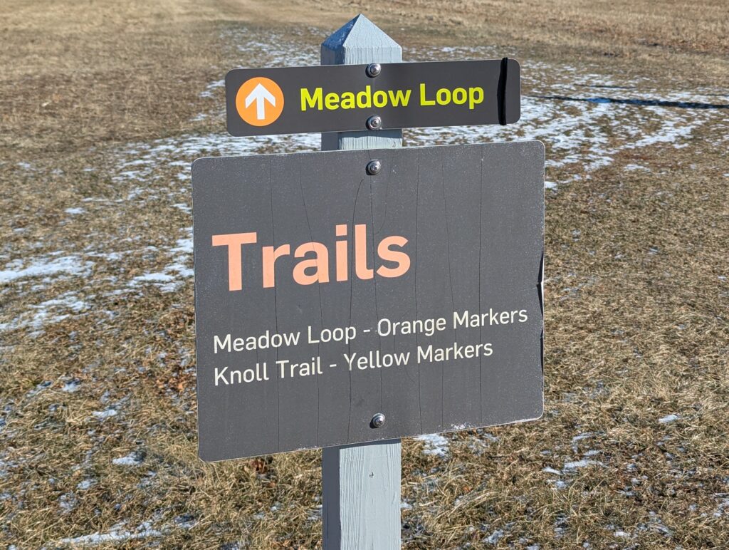
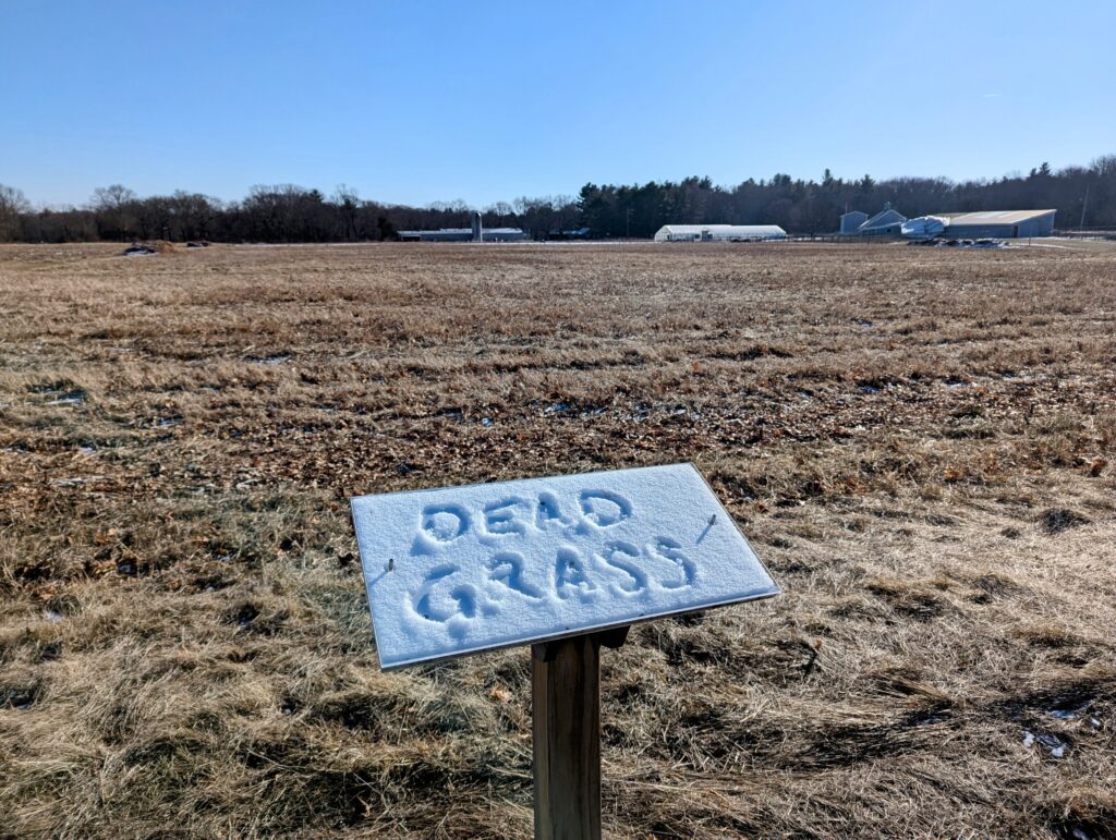
    The farm has one main trail: the Meadow Loop, which skirts the perimeter of the farm fields and edges on to some more wild areas. The trail is largely flat and suitable for children. So suitable, in fact, that as you walk around the property you can read a children’s book. Stands along the trail each hold two facing pages of the story, although most were covered with a touch of snow when we arrived.
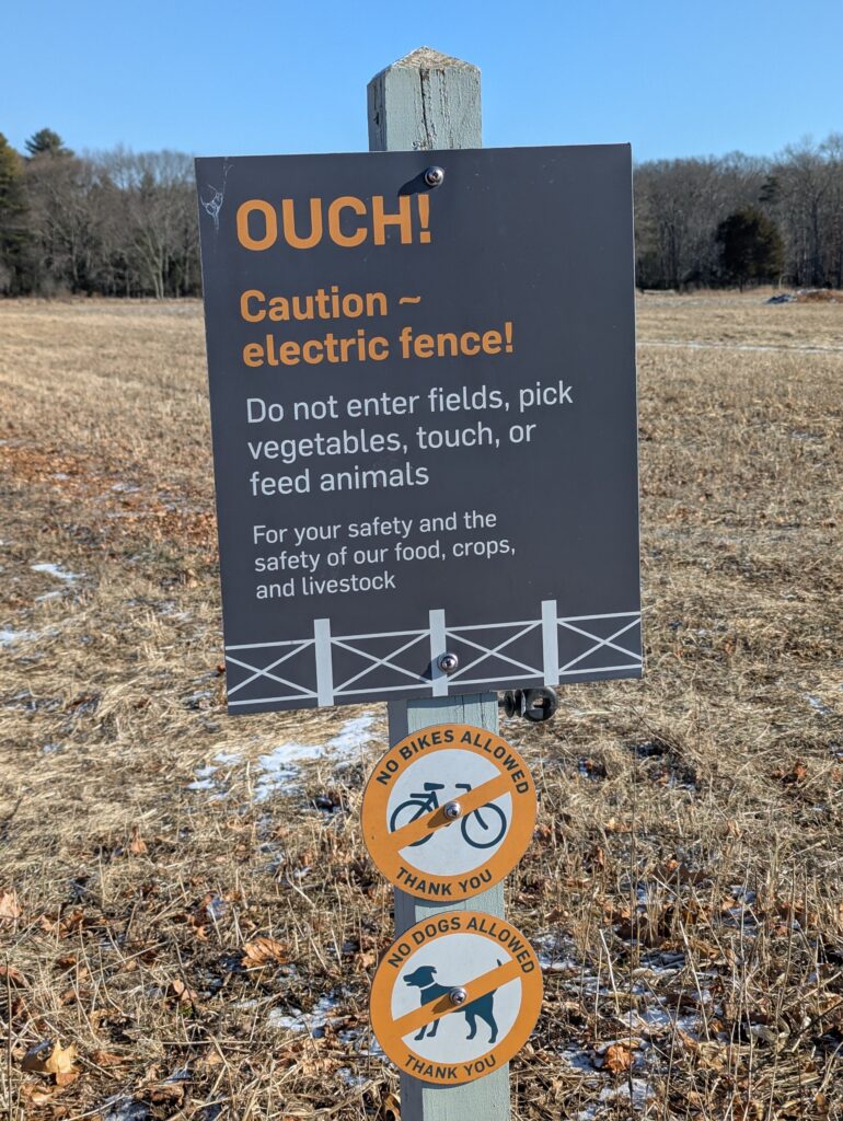
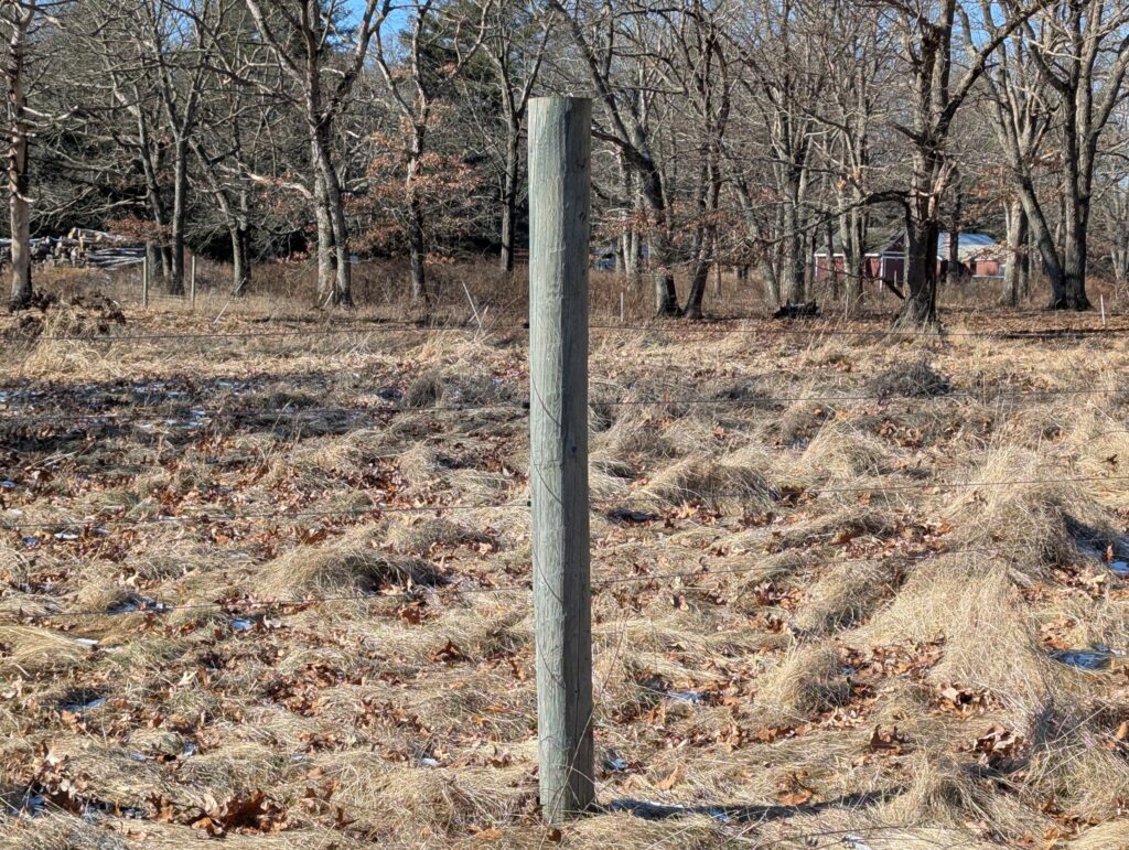
    In the growing season, the fields are protected by an electric fence. However, the majority of the fence was down when we visited.

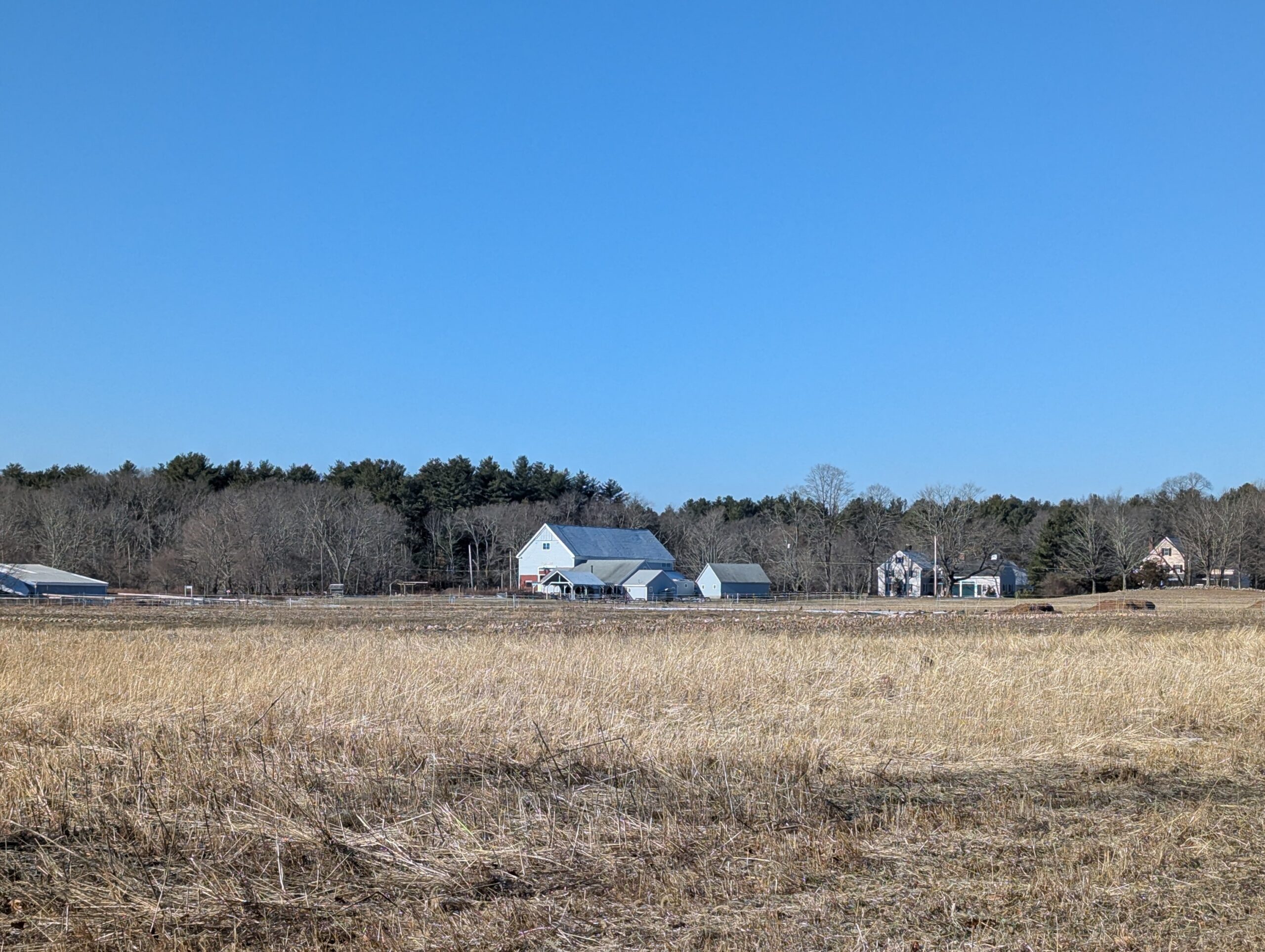
    The first part of the Meadow Loop skirts the fields closest to Powissett Street, and feels the most developed. In winter, you can see into the neighbors’ yards as you walk. But soon, the trail reaches an area that is more sheltered and wild. But not too wild. It even has some cute primitive wooden deer hanging around, wearing jaunty hats.

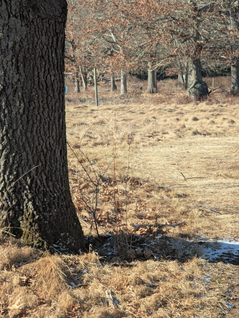
    If you wanted to go birding in winter, this might be a good place. But bring binoculars and/or a zoom lens! The birds at Powisset Farm were much more skittish than our city birds, and never let us get close enough to get a good photo. Behold below: Mike’s best bird shot of the day. See that really tiny light spot to the right of the tree trunk in the grass? That is a bird. If you click to get the largest version of the image, you can zoom in and get a better view of…a vaguely bird-shaped light spot.
    There are several more reasons this is a good spot for kids. For example, the bathrooms. They exist! And they’re accessible! Kids often need bathrooms, and those of us who subsist largely on coffee do too, so it was a delight to find them. The women’s room was so cold when I went in that it brought me back to some of the more rugged bits of New Zealand that we stayed in. Mike said the men’s room had more heat.

    Another reason is the lovely farm stand, the Powisset Farm Store. It offers meat, eggs, organic produce, coffee, tea, pastries, fruit, and a number of other treats and gifts. It also has some bougie canned beverages such as mocktails (they were tasty). They also offer heaps of cooking classes that sell out quickly, and if only we lived closer we would take advantage of them. And they also offer a highly in-demand CSA, which has a blog with heaps of recipes!
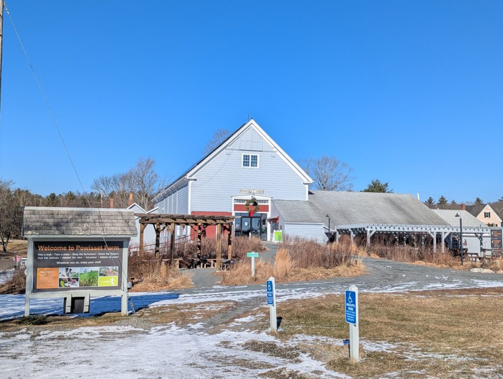
    The farm also plays host to an annual foxhunt (really more of a riding activity; no foxes are killed during the hunt).

    Powisset Farm is also extremely convenient to other Trustees properties if you want to get a day of exploring in. It is across the street from Noanet Woodlands (which we also explored…post coming soon!) and down the road from Pegan Hill and Peters Reservation.

    We hope you enjoyed our post!
  • Doyle Community Park

    Doyle Community Park

    Size157 acres
    Trails3 (Blue, Red, Yellow), plus connectors
    Blue trail is gravel with universal access
    ParkingMultiple paved lots
    Toilet facilitiesNone
    TownLeominster
    Trustees RegionCentral MA
    Notable ItemRhododendrons

    The Background

    Most of this property was previously the estate of Harry W. Pierce, a street car tycoon. But a significant portion was donated by Louise Doyle, whose father was mayor of Leominster in the mid-1920s. It wraps around the Boys & Girls Club of North Central MA as well as several other pieces of private property, and there is still a private residence in the Upper Meadow portion. It also houses some of The Trustees’ administrative offices.

    The park crosses both Abbott Ave and Lindell Ave, although the portion bordered by Lindell, Abbott and Highland Avenues does not have any trails.

    Our Visit

    We visited Doyle Community Park on the same day that we went to Redemption Rock — January 5, 2025. The two parks are only a 15-minute drive from each other. It was a bitterly cold and windy day, and the winds were only marginally less uncomfortable here.

    As soon as we parked, we looked at the map that The Trustees posted in the parking lot and decided to take the blue trail. We chose it for two reasons: it was the longest and it started at the parking lot. The blue trail is also a universal access trail; it is graveled (or “metalled” as they say in New Zealand) and graded to accommodate wheelchairs and other mobility assistance devices.

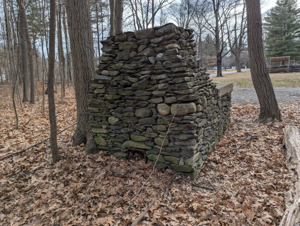
    We started on the side where the Boys and Girls club is located. The trail snakes between the club and a housing development. In the summer, when the trees are leafed out, it might feel like you’re in the woods; in the winter, it feels like a suburban dog-walking path. And based on all the good doggos we saw, that’s what it is used for. There are some bits and pieces that may be left behind from the grand homes that once stood here, including a big stone fireplace.

    An old stacked stone fireplace stands alone surrounded by trees and dead leaves.

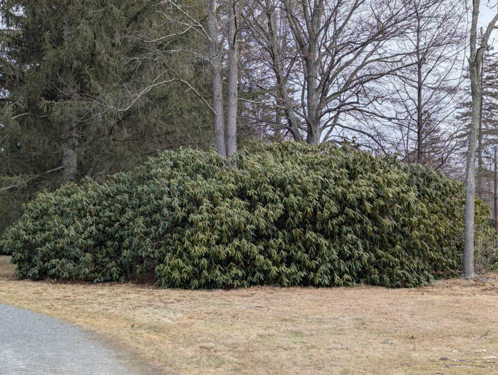
    When we got to Pierce Meadow, we were in for a big surprise. The meadow is covered with enormous clumps of rhododendrons. Rhododendrons of multiple varieties. And some of those clumps were as large as our house! It must be a heck of a thing to see when the rhododendrons are in bloom. Do you think I exaggerate? I do not.

    A truly enormous stand of rhododendrons surrounds a cluster of trees.
    I mean.

    The side of the park on the other side of Abbott Avenue, however, is much more of an immersion into somewhat manicured nature. The large private home that is located on the property is still visible, and some parts of the park have remnants from what may have been garden features.

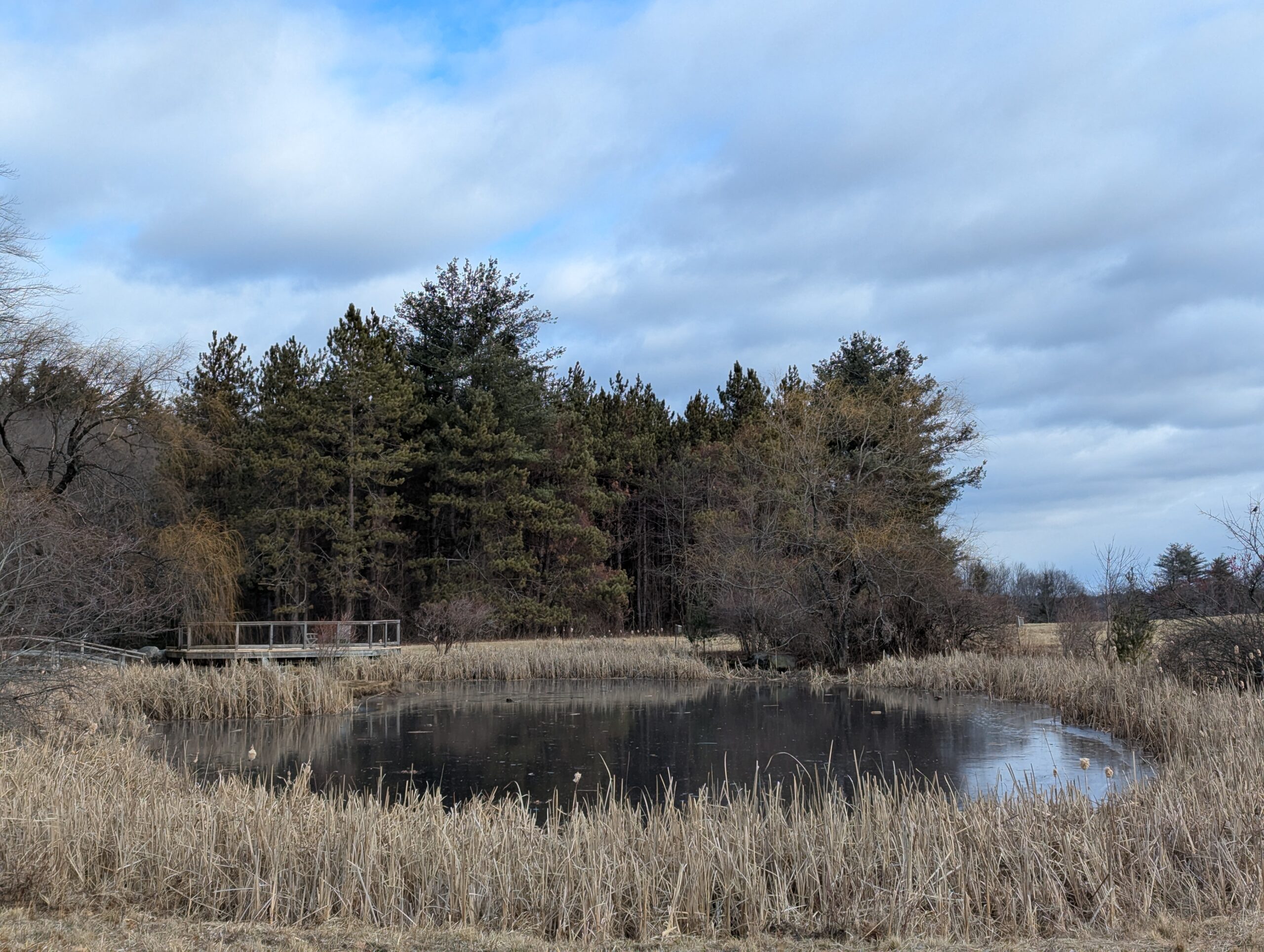
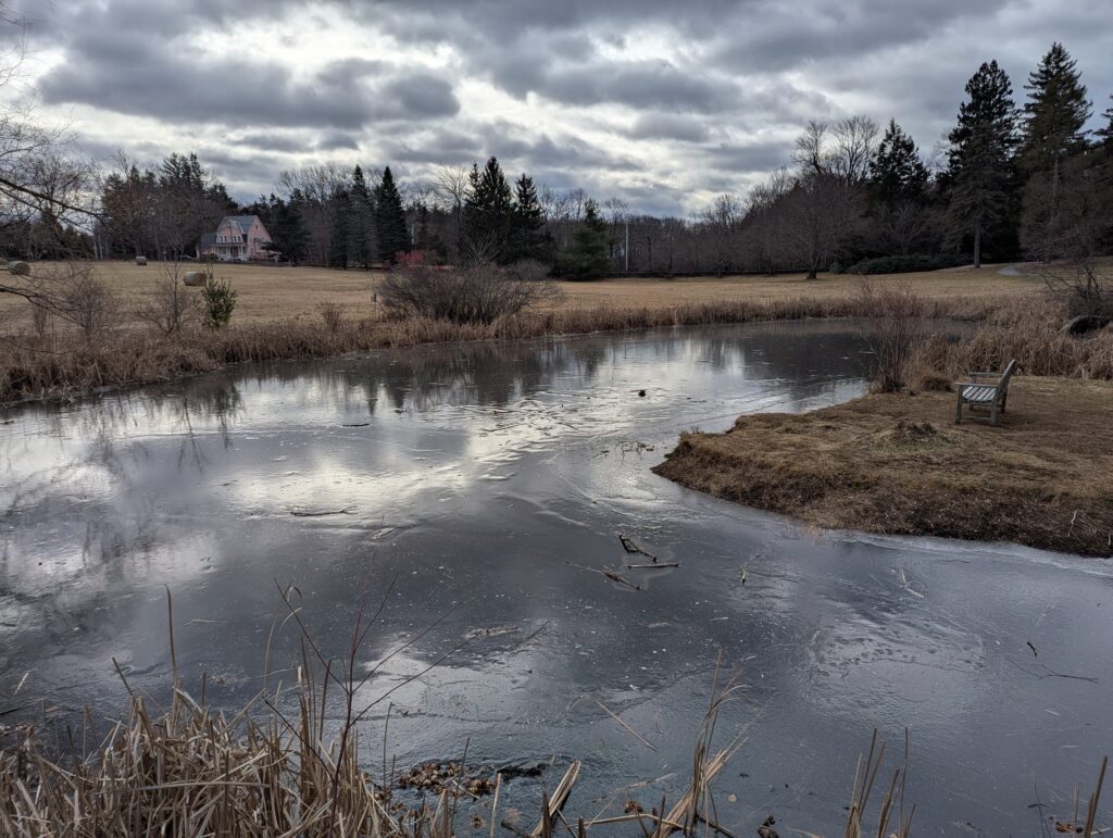
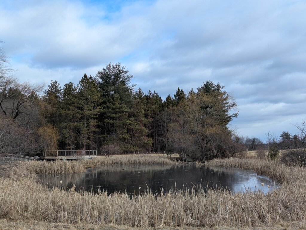
    This side of the park even has a pretty little pond that we admired as a bluejay loudly scolded us. The pond is picturesque, and has a sign noting that people shooting portrait sessions here should join The Trustees in order to have rights to the images.

    An icy pond reflects a turbulent sky on a gray day. On the right, a bench sits on a promontory looking out at the pond.
    Another view of the pond at Doyle Community Par, with evergreens behind and a peek of blue sky reflected in the frozen pond.
    Blue skies emerged for a brief moment as we rounded the pond.

    Behind the pond is the Grasslands, which is apparently a great place for birdwatching…when it isn’t 19 degrees out with high winds. We would love to go on another day when the conditions are more comfortable.

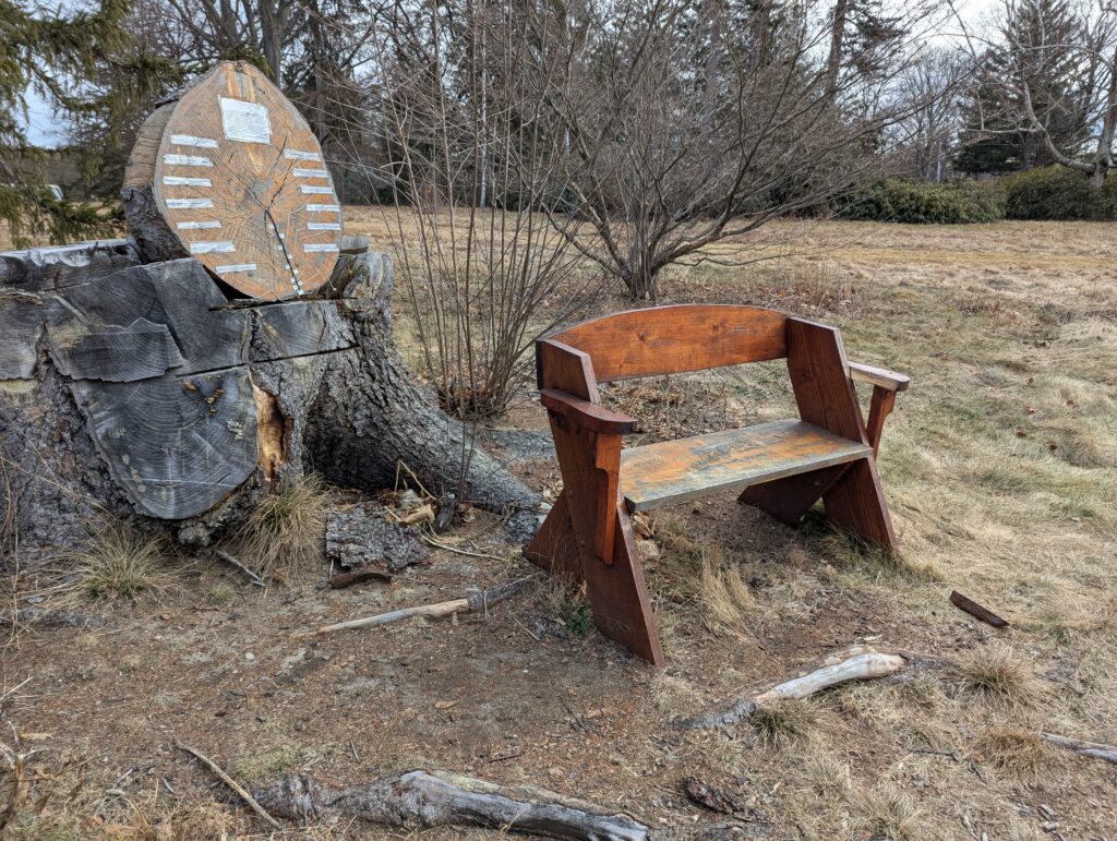
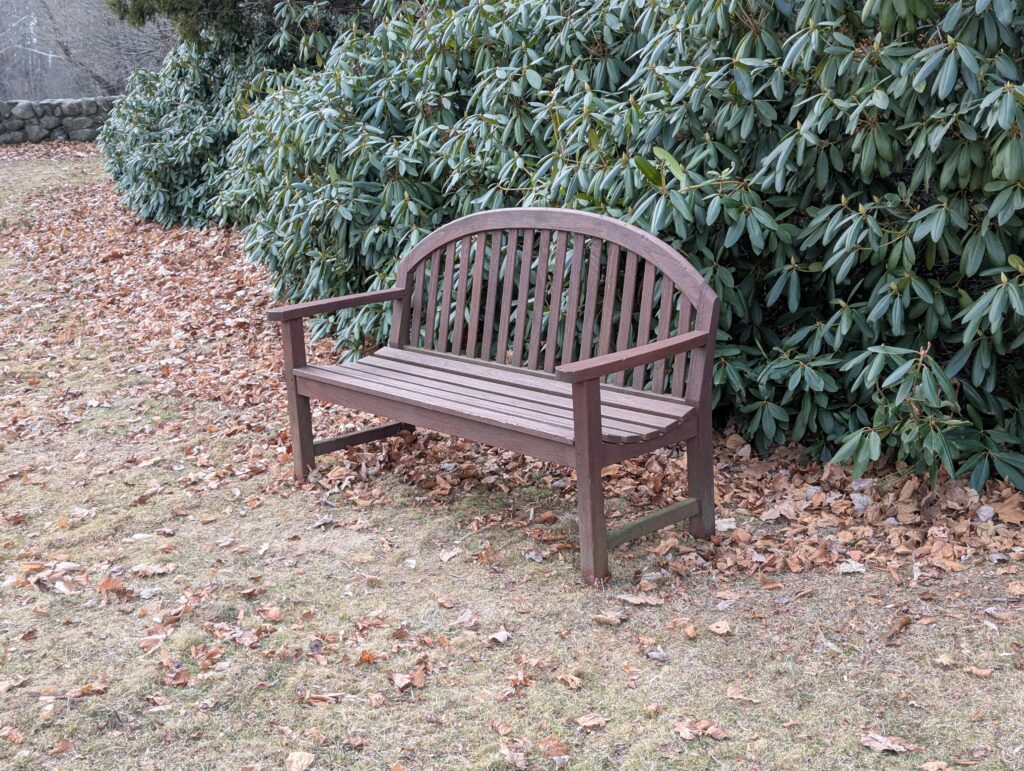
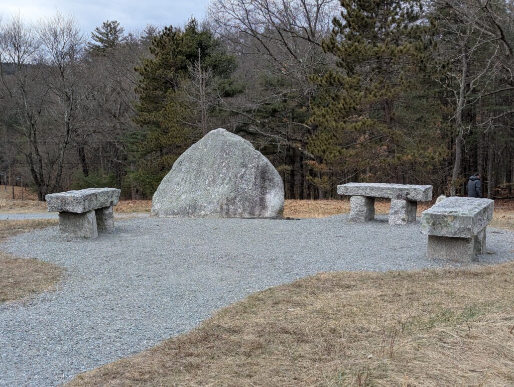
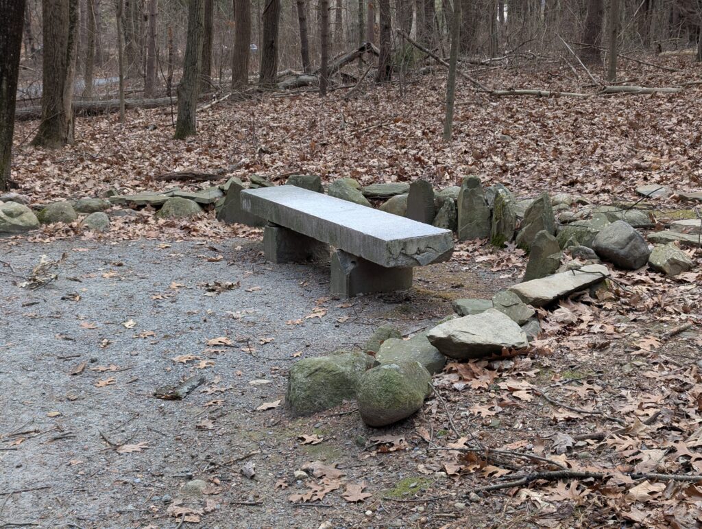
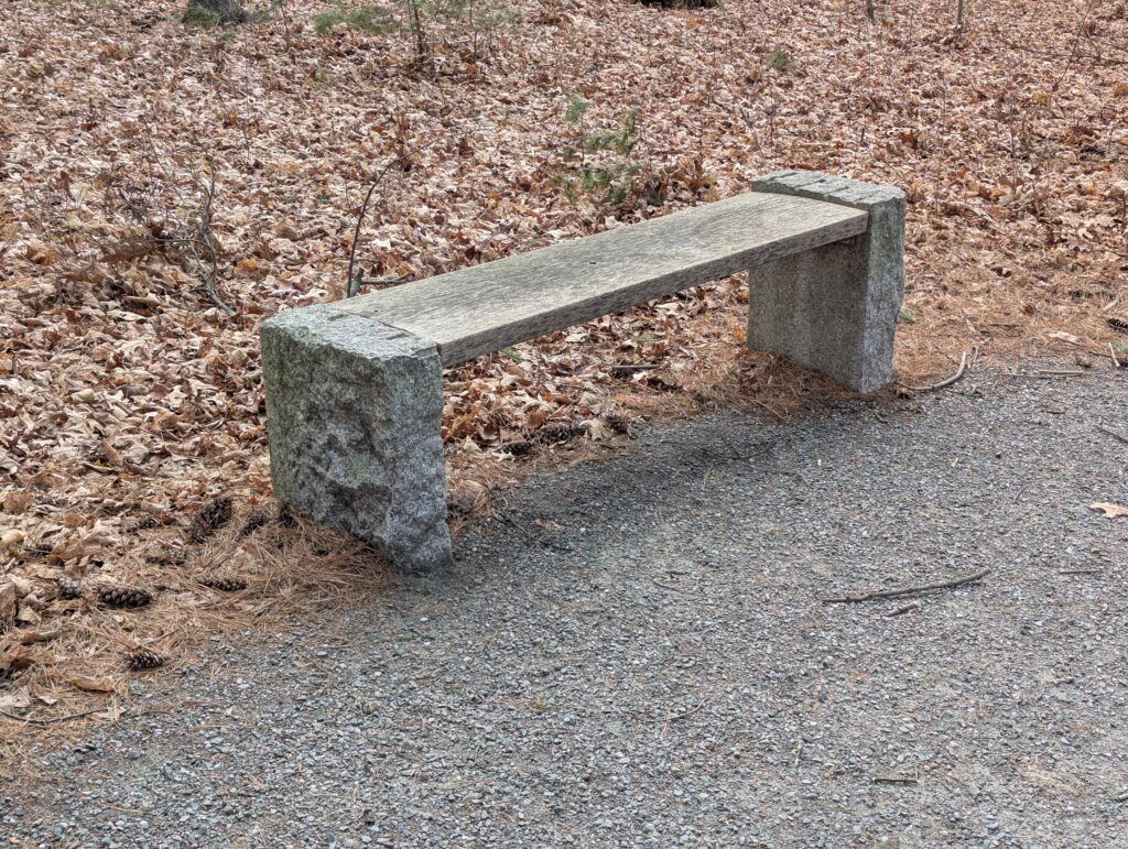
    As we walked, Mike noticed something that had escaped me — the diversity of benches on the property. Mike is a Builder of Things, so it makes sense that he’d notice the benches. We didn’t actually sit on any, so we can’t vouch for their comfort. (On a cold day like that, the stone benches seemed like a one-way ticket to frostbite of the butt.)

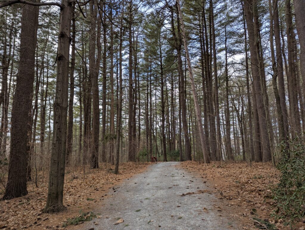
    The last stretch back to the parking lot feels extremely secluded, like you are in a mystical forest, even though you’re just a few yards away from the road.

    A gravelled path goes through dense woods. Leaves litter the ground.

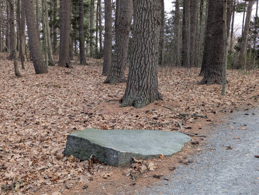
    And to our surprise, by the side of the path was a mini-Redemption Rock! Mike said, “This is where you trade people that aren’t worth all that much.”

    A granite rock with a very flat and polished top sticks out about 6 inches from the ground.

    Doyle Community Park is probably not an ideal park to visit on a cold, blustery day, unless you’re a local walking your dog. But those rhododendrons are going to be something to see when they’re in bloom. And the fields must be amazing for bird watching, when the birds aren’t huddled against the trunks of pine trees sheltering against the wind. It will definitely be worth seeing at other times of year.

  • Redemption Rock

    Redemption Rock

    The Stats

    Size1/4 acre
    TrailsNone, but the Mid-State Trail runs through it
    ParkingDirt lot, severely rutted when we visited
    Toilet facilitiesNone
    TownPrinceton
    Trustees RegionCentral MA
    Notable ItemRock

    The Background

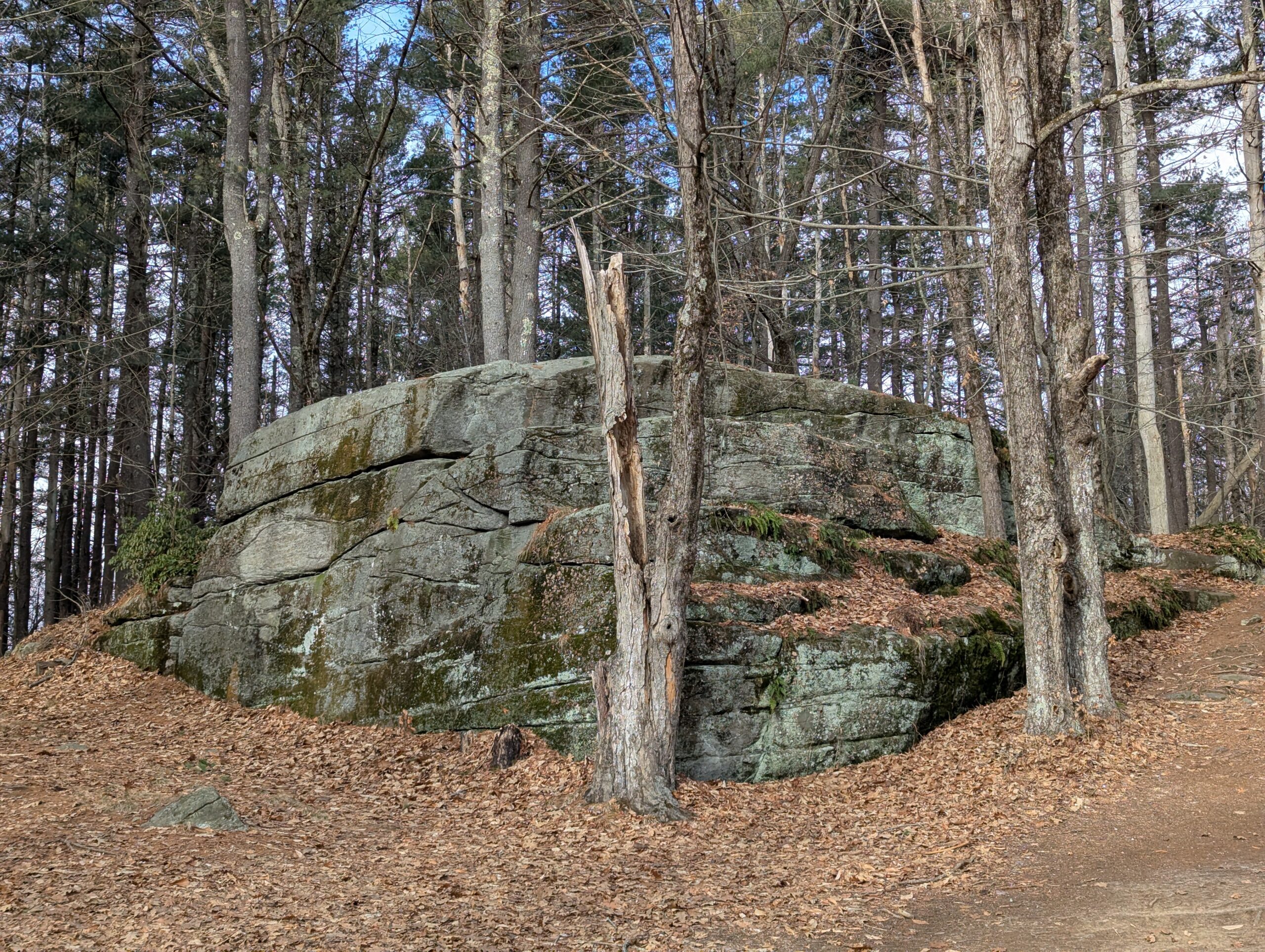
    Redemption Rock is a key location in one of the 17th century’s hottest nonfiction books. If you haven’t read The Narrative of the Captivity and Restoration of Mrs. Mary Rowlandson … well, neither have we. (But you can download it for free from Project Gutenberg!) This spot is the location of the climax of the story.

    Mary Rowlandson was captured in 1676 during what colonists called King Philip’s War (also known as Metacom’s Rebellion), when Native Americans fought (unsuccessfully) to stop white colonists from taking their land. (To learn more about what led to the war, and its outcomes, read This Land is Their Land by David J. Silverman.) Several months later, colonists ransomed her from the Native Americans that had captured her. This rock was the spot where the exchange took place.

    If you thought the name was Biblical, it appears to hew more closely to a different definition: “recovery of something pawned or mortgaged.”

    Our Visit

    We decided to start our Trustees journey on January 5, 2025 with what is probably the smallest property in the system, on a cold and blustery day. Not the most ideal conditions for a rocky promontory that catches a lot of wind!

    As we faced the rock, to the right is an information board from the Trustees. Some of the text has been thoughtfully edited by a later visitor using marker. There is also a QR code on a tree that leads to a historical overview by the Princeton Historical Society. That overview is informative and provides more detail, although it definitely takes the Colonial point of view.

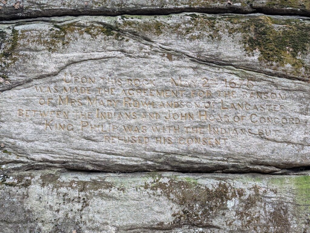
    As we followed around to the left, we discovered a hard-to-read inscription on the rock. (Perhaps on a sunny day it would be easier.) It’s not clear when it was engraved, but based on the typeface I would think sometime between the 1860s and 1880s would be a good guess.

    "Upon this rock May 2nd 1676 was made the agreement for the ransom of Mrs Mary Rowlandson of Lancaster between the Indians and John Hoar of Concord King Philip was with the Indians but refused his consent."

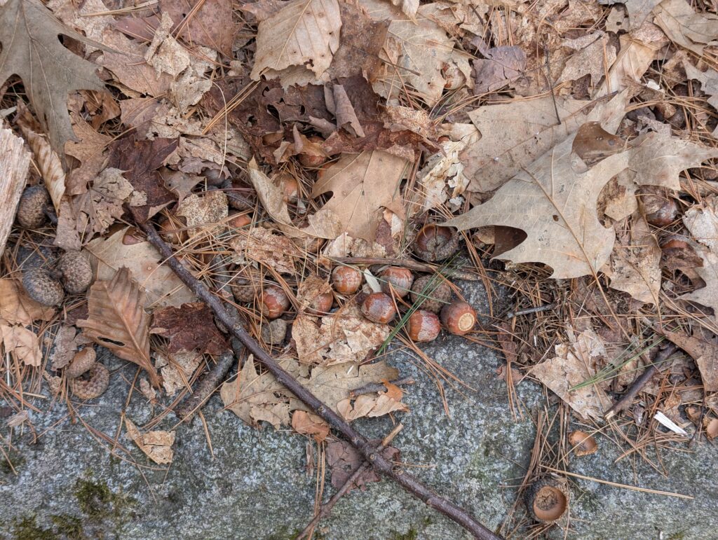
    If you walk to the top of the rock alongside the left-hand side of the rock, beware the acorns. They are in piles, many are hidden under leaves, and they will absolutely roll under your foot. It made for a couple of extremely wobbly moments.

    The Midstate Trail hiking trail runs right past Redemption Rock, so it could be a good spot if you wanted to get a bit of hiking in beyond the Trustees property. There is also a nice view of Wachusett Lake nearby, if you follow the Midstate Trail towards Redemption Rock Trail (which is not a trail, but instead an alternate name for Route 140).

    While it may be in the woods now, a photo from 1879 shows a very different landscape. Some of that scrub brush up top may be today’s tall trees.

  • What is Tramping the Trustees?

    We’re Nikki and Mike. We like setting goals that get us out of the house. Several years ago, we visited 40 wine appellations over the course of a year.

    We’ve enjoyed our membership with The Trustees, so much so that we decided to visit all the properties. And then we looked in December 2024 and discovered…The Trustees has 128 properties! Whoa!

    We spent a few days trying to figure out how we could visit all 128 properties in a year. Some are colocated — heck, there are four properties at Crane Estate! (If you’re counting: Castle Hill on Crane Estate, The Inn at Castle Hill, Crane Beach on Crane Estate and Crane Wildlife Refuge on the Crane Estate.) But we quickly realized that in order to pull it off, we couldn’t get sick, we couldn’t travel anywhere that wasn’t a Trustees property, and if there was a natural disaster that shut down most Trustees properties for a few weeks, we’d be sunk.

    This is supposed to be a fun project. Why be hard on ourselves? We decided to spread our excursions out over two years.

    And, as we researched, we made another decision, too.

    The Trustees Lodgings

    The other thing we realized is that five of the properties are lodgings. Two are fiercely fought-over campgrounds (Tully Lake Campground and Dune’s Edge). Two are hotels that would be a serious splurge for us (The Inn at Castle Hill and the Guest House at Field Farm). And one, Long Point Cottage, runs about $7,000 per week. We could get it for $2,500 a week in the low season…but that is still waaaaay too rich for our blood.

    Because we’d planned our adventure as largely day trips, because we cannot afford to spend $7,000 on a week-long house rental, and because booking the campgrounds is apparently a big challenge, Trustees lodgings are not part of this project. We will make it to as many as possible because they absolutely set us to daydreaming. Long Point Cottage is looking darn unlikely, alas. (Unless you, dear reader, are planning to rent it and have an extra bedroom? Hit us up.)

    2 Years, 123 Properties

    We finally landed on our goal. Two years, 123 properties. Totally doable, and it will get us to every corner of Massachusetts. And it also allows us to revisit properties, if we want to see them in a different season.

    Of course, The Trustees could add new properties in 2025 and 2026 which will change this number! Stay tuned!